
Ground-penetrating radar to point-cloud visualisation.
Understand your underground
fast.
Underdots is a fully-automated data processing service that turns raw ground-penetrating radar data into actionable insights.
Get more value from your subsurface utility investigations budget, save time and minimize rework.

How it works
1: UPLOAD
3DR, .SEG-Y or .GeoTIFFs to the Underdots platform with details about how the data was captured.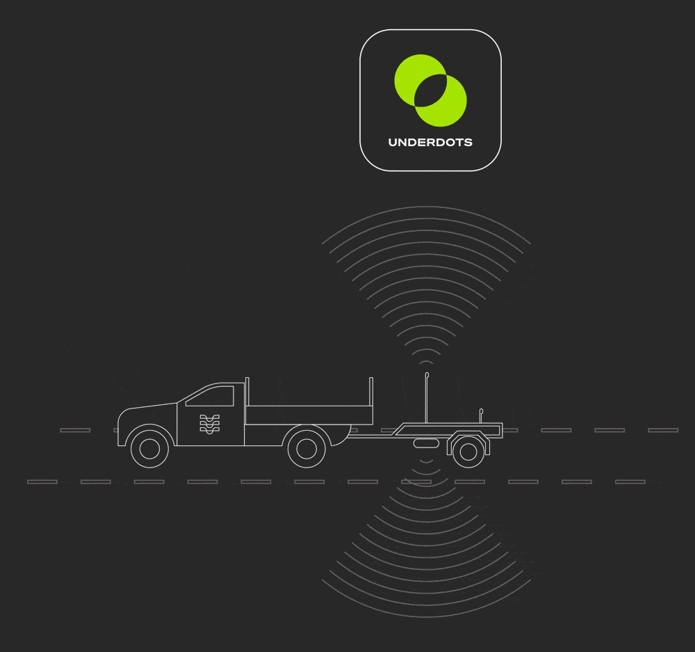
2: Reveal processing
We process the data to produce a 3D point-cloud visualisation and display it on a map, and send you a link to view your project.
3: data share
Share access with key project stakeholders.
Estimate your data processing cost
FAQs
-
Underdots is compatible with radar output files from:
Proceq GS9000 + GM8000
Kontur Geoscope + DX radar
IDS Stream UP
IDS Stream X
IDS Stream DP
Impulse Raptor
-
Underdots can work on SEG-Y, .3DR and GeoTIFF files.
-
Automated data processing takes about one hour per hectare of data uploaded. QA and manual tasks mean most projects are returned to you within 3-5 working days.
-
Underdots processing costs USD$1,000 per hectare of data uploaded. Discounts for higher volumes or minimum annual contracts are available on application.
-
Click here to request a sample .laz file demonstrating the output from the Underdots process.
Ready to start?
If you have compatible radar data ready to upload now, click the button below.