Articles
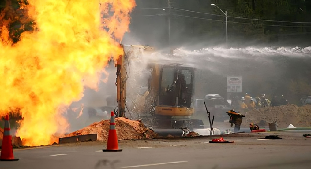
The importance of mapping critical utility infrastructure
Through investing in mapping buried utilities, cities can identify vulnerabilities and develop robust contingency plans, and authorities can ensure the continuous operation of essential services during emergencies. Learn how utility mapping can reduce utility strikes, and enhance construction efficiency and safety while boosting economic growth.
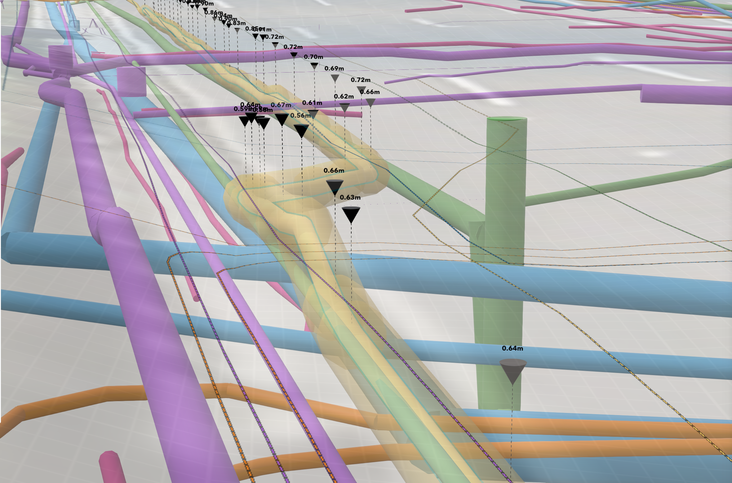
Driving safety in construction with Unified Utility Models
A streamlined construction process begins with access to accurate underground data at the design phase of a project, but how can engineers ensure that they are working with precise and up-to-date information? Here, we explore how new utility modelling technology is helping engineers navigate the murky world of underground utilities.
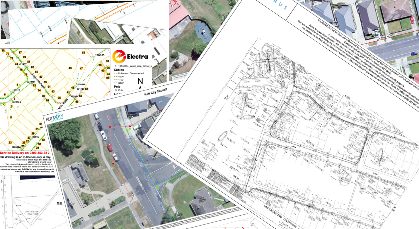
The crucial role of as-builts in infrastructure development
Accurate as-built information is critical for infrastructure construction and utility locating alike. However, as-built documentation is frequently incomplete, out of date or simply not available. This leads to numerous challenges for designers and engineers delivering projects. This article explores what "as-builts" are, why they are so important to utility mapping, the issues within the industry, and what can be done to improve for the future.
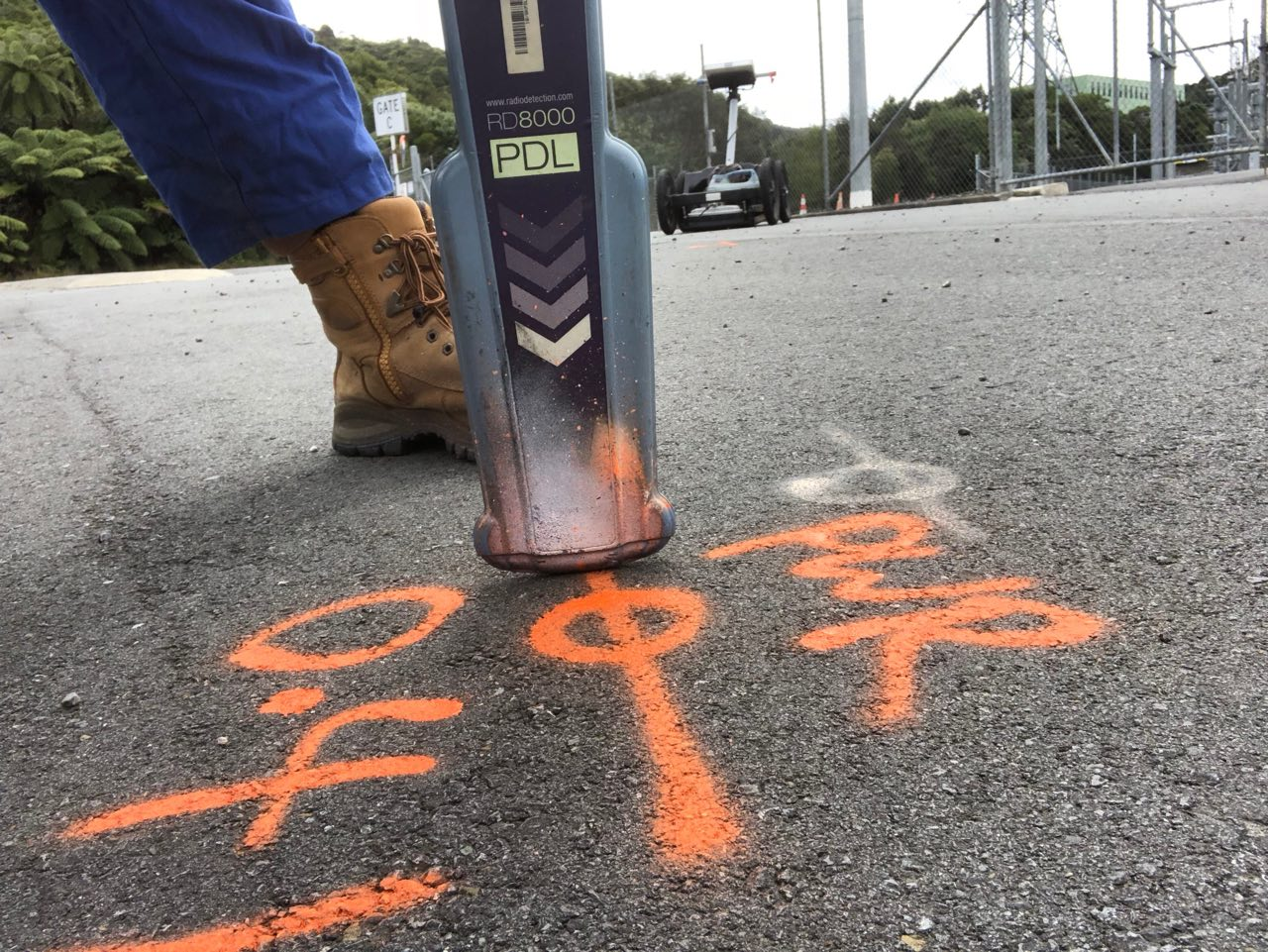
Going Above and Beyond- Stories From Reveal’s Field Services Team
Nearly every construction and project site in New Zealand has issues with unknown underground utilities and lack of accessible information on the subsurface. Reveal is dedicated to working closely with our customers to identify potential issues and explain how to apply best-practice Subsurface Utility Engineering (SUE) methods to avoid the risk of utility strikes, project delays and cost blowouts. This article explores case studies from across New Zealand where our team has gone above and beyond to deliver results for customers.

Reveal R&D: Testing Photogrammetry for Improving Utility Mapping in International Cities
Mapping utilities in dense urban environments requires precise and up-to-date information about the above-ground infrastructure. However, high-resolution imagery of these above-ground features can be difficult to obtain, especially when mapping densely populated cities. This article demonstrates how Reveal are using photogrammetry to solve this problem.

The Importance of 3D Utility Mapping and Data Sharing to Mitigate Risk and Budget Overruns in Roading Projects
Discover 3D utility mapping and how can it be used to mitigate risk during major roading projects while saving thousands of dollars in budget and labor hours.

Reveal's Green Revolution: Our New Sustainability Initiative
Reveal is proud to launch a sustainability initiative aimed at reducing our carbon footprint. Inspired by a vision for positive change, our Graduate Utility Surveyor, Ben Amick, addresses the environmental impact of our aerosol paint cans waste from utility markouts throughout the year.
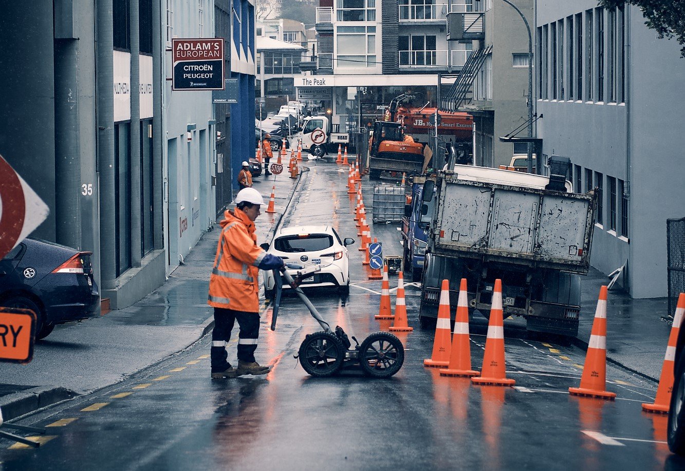
GPR Myth Busting: Unveiling the Truths Behind Ground Penetrating Radar in Utility Locating
There are many misconceptions about the capabilities of ground-penetrating radar. This article dispels the myths and demonstrates how Reveal is harnessing GPR to deliver the most up-to-date data for clients throughout the infrastructure industry.

Reality Capture 101
Discover how reality capture can enhance our understanding of the underground environment and accurately inform infrastructure projects of risks from hidden utilities, all from an everyday smartphone.

Mitigating Infrastructure Project Risks With SUE: The Need for Subsurface Utility Engineering (SUE)
A call to action for Subsurface Utility Engineering (SUE) practices to be adopted at the design phases of all infrastructure projects, with a cautionary case study illustrating how utilities caused chaos for the US military when neglected.

What is the potential Return on Investment from using Subsurface Utility Engineering in infrastructure projects?
Discover how subsurface utility engineering (SUE) best practices can improve resource allocation through the infrastructure project lifecycle, with research from international case studies that highlights the positive ROI on every dollar spent.
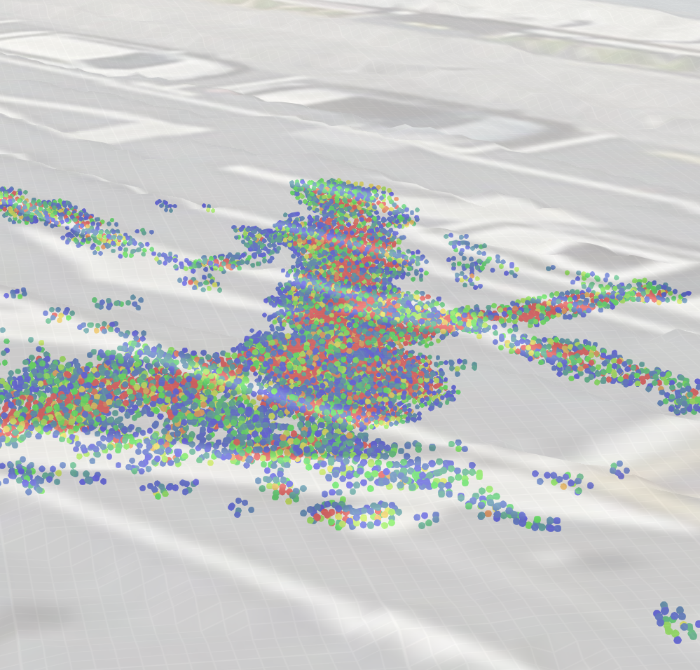
Reveal launches new visualisation tool for the underground
Discover Underdots, the new DaaS product from Reveal. Underdots is set to revolutionise workflows within large infrastructure projects as it provides fast, actionable insights to stakeholders indicating underground risks and enabling informed and efficient decision-making.
Why pavement mapping is important for building resilience in New Zealand's road infrastructure
Discover how pavement mapping, driven by ground-penetrating radar technology, offers cost-efficient, non-destructive insights for proactive road maintenance, ensuring New Zealand's roads stay resilient in the face of climate change and a rising population.
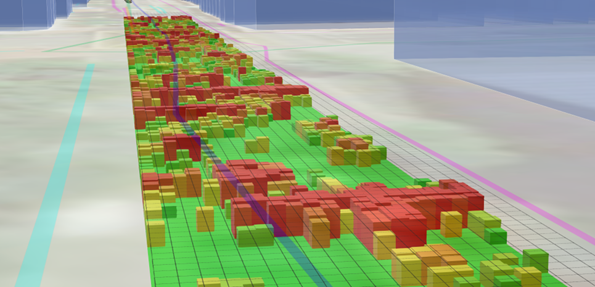
Visualising GPR data in a GIS environment
Visualise raw GPR data in minutes with Reveal’s new data processing service

Reducing infrastructure project costs and timeframes
Cities that take proactive steps to map their underground and aggregate the information in platforms that can keep the information current will reap massive advantages in productivity, economic growth and sustainable outcomes in the 21st century.
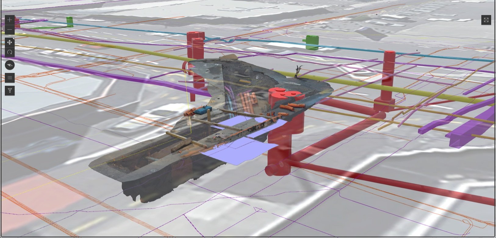
Introducing the RevealTwin
The Wellington RevealTwin is the world’s largest subsurface digital twin.
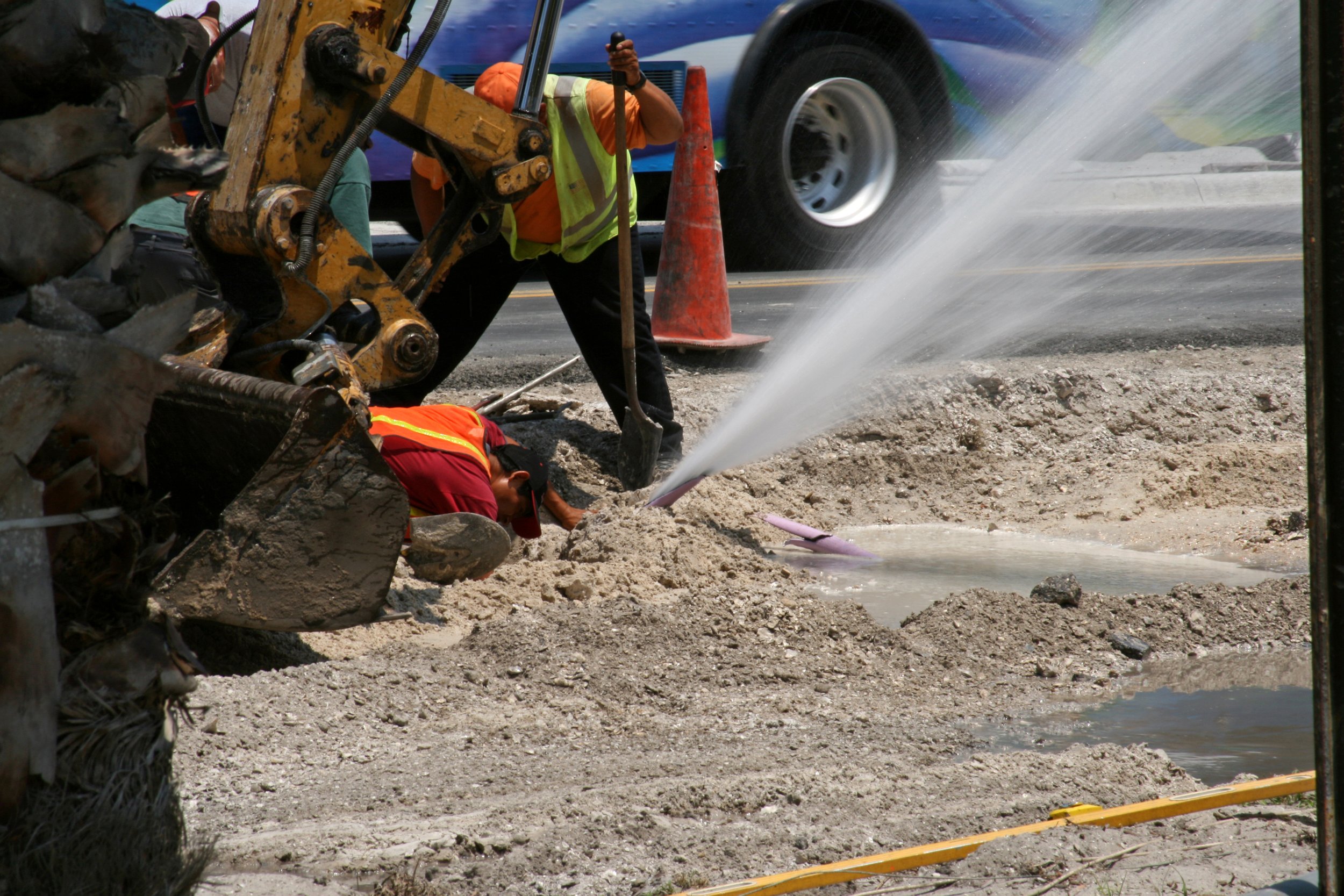
The true cost of utility strikes in New Zealand
Utility strikes (breakages or damage caused to underground utilities) costs New Zealand $89m per year in direct costs - but even more in indirect costs
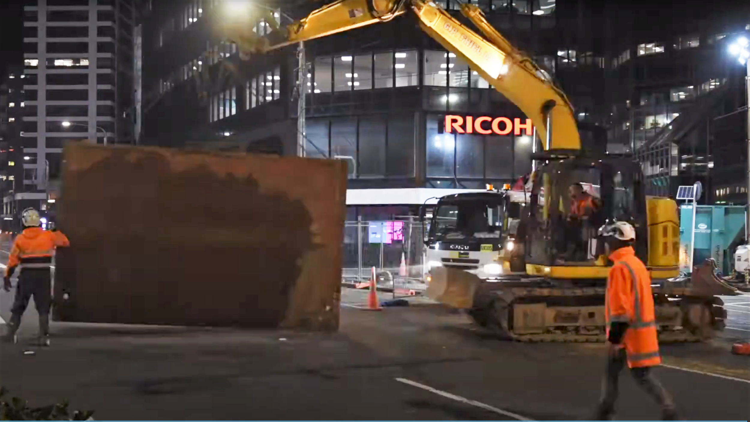
A gaping void under the streets of Wellington
When a giant sinkhole opened beneath one of Wellington’s main road transport routes, it required a massive operation that disrupted traffic and the lives of residents across the city.

Building the best company in the world
Reveal wants to make the best company to work for in the world. We’re building a culture in which every member of the team is an owner and where every team member brings their full, authentic selves to work every day.
