utility locating

Understand your underground
30-40% of underground utilities are undocumented or inaccurately recorded on as-built plans.
Reveal’s locating services reduce your risk of a utility strike by showing you where the dangers lie.
Our process
Reveal uses cutting-edge technology and skilled field technicians to collect the most precise utility data, including depth and dimensions.
Electromagnetic locating (EML)
Ground-penetrating radar (GPR)
GPS/GNSS surveying
Chamber investigations
Reality capture scans
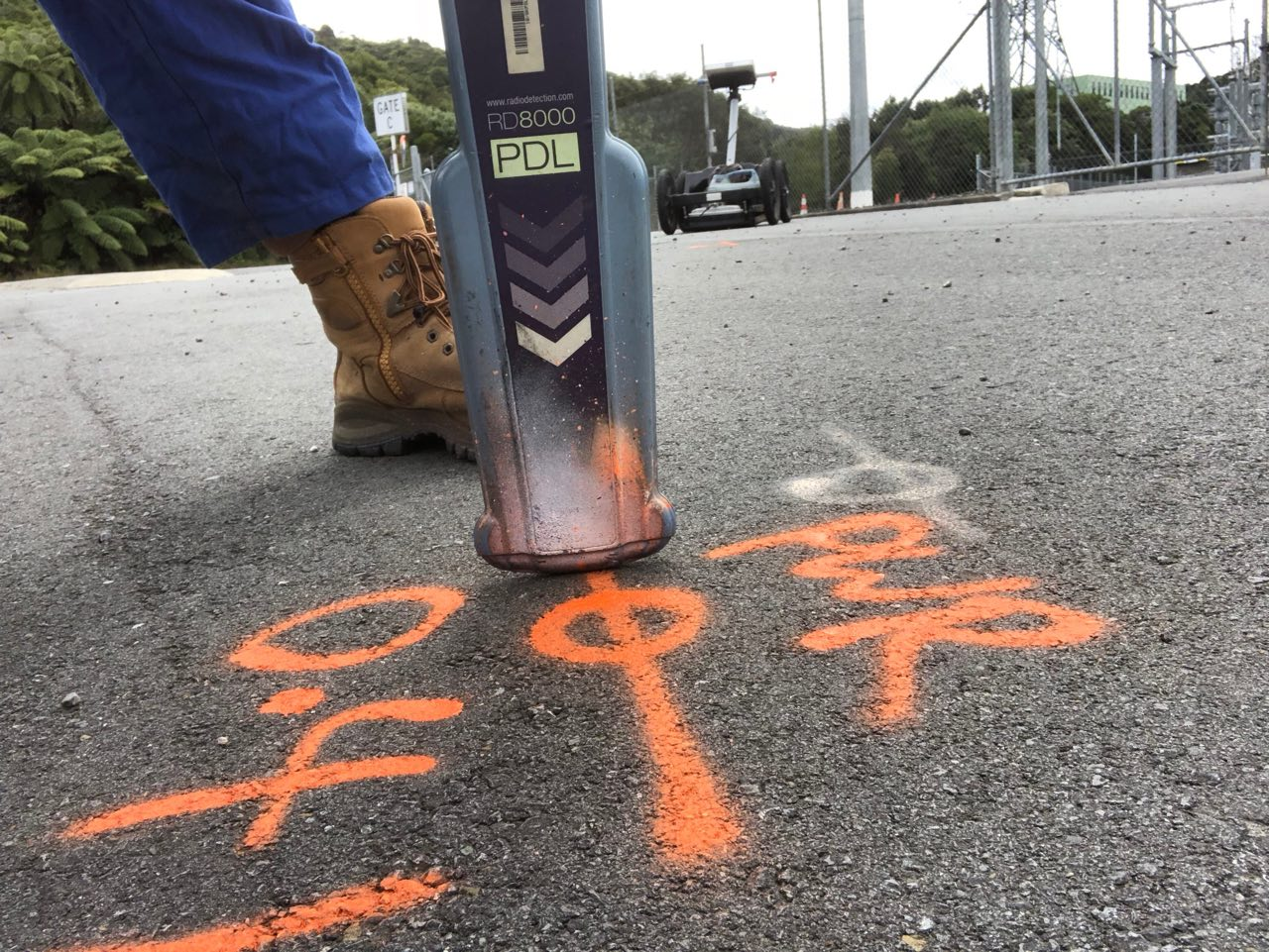
Paint markouts
Electromagnetic Locator (EML)
EML is effective for locating metallic utilities such as communications and electric cables, as they produce a distinct electromagnetic signal.
Ground-penetrating radar (GPR)
GPR can corroborate EML detections as well as detect changes in material properties, and can detect both metallic and non-metallic utilities. Suitable for urban centres and rural areas.
Chamber Investigations
Field technicians open manholes and chambers to scan the interior and evaluate chamber conditions. The direction of laterals and cables leading away from the chamber can provide valuable clues to the location of other utilities.
Reality Capture / Chamber scans
Chambers are opened and scanned using LiDAR and photogrammetry tools to document the precise layout and dimensions. 3D models can be generated and embedded in your digital utility map or Undermaps.
Paint markouts
Utilities are marked out along the pavement using colour-coded paint and symbols to distinguish the utility type, depth and direction of detected utilities.
book us in
Save lives, time and money. Manage underground risks early. Take control of the unknown. Seek and share the truth of the hidden.


