40% reduction in project relocation costs
30% reduction in construction and design costs
10% reduction in redesign costs
10% reduction in project delays
Undermaps
Bring together all your underground utility data into a single, intuitive platform. Undermaps combines historic utility plans, utility surveys and asset metadata to create the most accurate and comprehensive view of your underground utilities.
How it works
Collect all information
Upload your existing utility data for your site - scans, plans, photo and video. Undermaps georeferences your information to create a complete view of your data.
2. Verify and update.
Upload data from utility investigations - ground-penetrating radar detections, EML, aerial photography and chamber scans. Undermaps integrates, verifies and updates your base map based on the evidence you provide.
3. Visualise and analyse
Better data leads to better decision-making. The intuitive Undermaps interface displays:
Utility data throughout your site, classified by type, detection method and risk score
Anomalies and unknown assets
Conflicts
4. Export and integrate
Export and integrate into the engineering platforms of your choice. Export deliverables in all common CAD, GIS and document formats.
DWG, DXF, 12D, IFC
GDB, SHP, GeoJSON, KML
PDF, CSV
LAS, E57, FBX, GLTF
TIFF, GeoJPG, ECW
5. Break down silos
Invite collaborators to access your Unified Utility Models so all stakeholders can work from the most up-to-date, accurate information source.
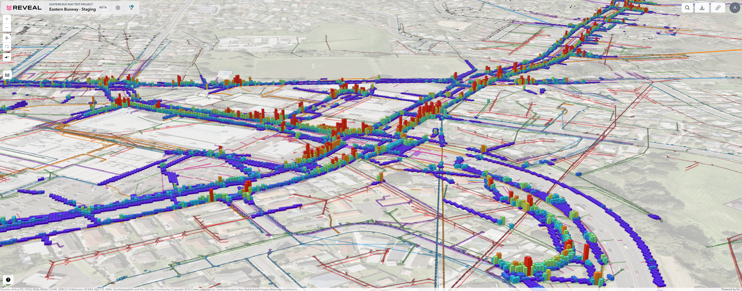
CASE STUDYEastern Busway Project
The Eastern Busway Project, a $1.4 billion public transport development in Auckland, required the construction of 7km of separated, centre-lane bus lanes stretching from Pakuranga to Botany.
79,723
metres of utility detections
20%
utilities detected that were not on any plans
60
active project users, including engineers, contractors and asset owners
“One of the most significant benefits of using Undermaps is the potential to reduce the need for invasive investigations.”
Samantha Smith, Project Manager & Utility Lead
GET IN TOUCH
Request a demo to see how Undermaps helps you take control of your underground.


